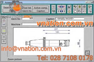


 viewer software / management / interface / calculation
X-PAD Office
Vnation JSC
Contact us for advice solutions and equipment provider
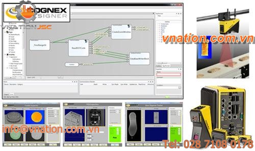
Products relative
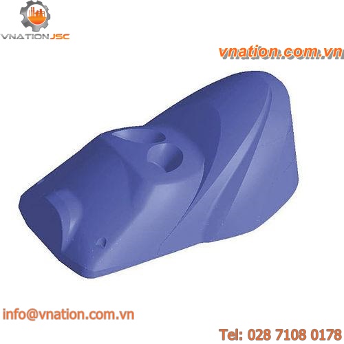
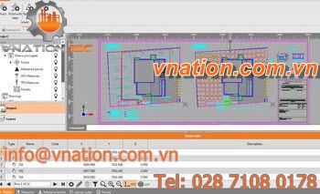
CAD software


CAD/CAM software


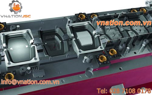


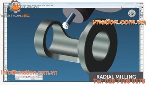
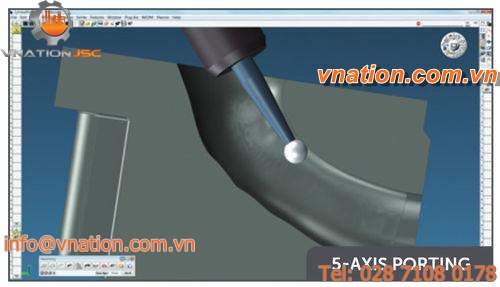
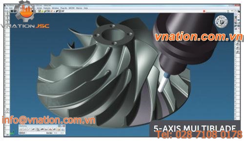
CAM software